You can see the drought if you stare into the end of your faucet, like staring at the black part of a candle flame.
This method works just as well as any of the myriad charts, maps, visualizations, and website-embedded animations of a hamburger abstractly labeled with numbers of gallons of water. Look into the faucet. Stare into its dark, fathomless depths, then turn the knob, let loose the water, rinse clean your illusions, and open your third eye, which looks like nothing so much as the clockwise, Coriolis swirl of 70% of our body weight circling around a drain.
You just have to look hard enough. It is about effort, the sheer force of will to see what is hidden, so that you might understand about the water. We are told endlessly of how we must learn to handle the drought. We must understand and comply with water-saving techniques. We need to be on the lookout for water-wasting, for failures to comply with emergency measures. We must be shown data that explains the real cause of the drought. We must study maps that show which percent of what area is using what portion of the total water. We have to see this water infrastructure. If only we could embody the truth about water with our senses and our mind, then the drought would go away. If only we knew how much water we were using, and how precious it is to our lives, then the water accounting problem would solve itself. In this miraculous revelation, the fundamental collision of overpopulation and climate change that our civilization has wrought would simply—if one will pardon the phrase—evaporate. And so the great magical trick begins. The dark visualization wand is waved, and as we are ocularly prestidigitated, the water spurts out of the tap like a rabbit from a hat.
If you are one who wants it badly enough, there are places where you can take pilgrimage to learn the ways of water. At the California Department of Water Resources’ visitor center in Vista del Lago this sort of artificial visual slip is performed on repeat, as the video track recycles every six minutes.
Vista del Lago means “view of the lake,” of course. It’s not a place, really—it’s an exit high in the mountains off Interstate 5 north of Los Angeles that oddly has beach access. The view is not really of a lake: but of the Pyramid Lake reservoir. The pyramid is not really a pyramid, but an island in the middle of the lake that itself is not really an island, only a hill that has been partially submerged. It’s named Chumash Island, after the former indigenous inhabitants of the area that are not really inhabitants anymore, having been reduced in number from more than 10,000 before Spanish contact to just 200 by 1900. But the island is named after them, and the lake named after the island, and the view of the lake named in Spanish, which just so happens to be the primary language of most of the people using the beach access for family barbecues on fine spring Sundays.
The visitor center’s visuals are not really a view of California’s water resources. Inside the dark, air-conditioned auditorium plays an aged animation called Water Wasters, featuring an anthropomorphic faucet dressed like Sherlock Holmes running through a rap sheet of criminal appliances such as “Runny Basin” and “Rinsey Sink” and suffering a strange case of painfully normative gender roles in addition to being responsible for wasting household water. There is the ever-present large hamburger model, molded out of compressed wood painted bright red, green, yellow, and brown, with accompanying values of gallons printed on each ingredient (eleven gallons a bun!). There are a number of photos of ships and fields of crops in various locations. There is a scale model that shows the elevations over which water is pumped through the California Aqueduct. There is a video of Ronald Reagan blessing the Oroville Dam. But the real pinnacle of visual media is a video called Wings Over Water. In a darkened alcove, there is a giant red button in front of a dark screen. One presses it, and light leaps to the screen, sound to speakers. While a meditative, New Age score plays that might have been lifted directly from a yoga retreat or a crystal shop, the viewer is enjoined to marvel at video clips of the entire California Aqueduct system, shot from an aircraft tracing graceful arcs over the beautiful Central Valley.
You probably know where the Central Valley is, and you probably know why it is significant. Any article about the drought in the media makes sure to drive this point home. The Central Valley is the Californian Eden, where the waters come from: the Pishon, the Gihon, the Tigris, and the Euphrates replaced by the Sacramento, the American, the Feather, and the San Joaquin. You’ve probably seen maps, charts, aerial photographs of vegetable fields and land subsidence, of the unnaturally parallel lines of the California Aqueduct, the third largest river in the state, carrying water in quantities of millions of acre-feet off into infinity. You might have even crossed it, seen it from Interstate 5 as you fly north or south on radial tires at or above the beautiful, Californian 70 MPH speed limit.

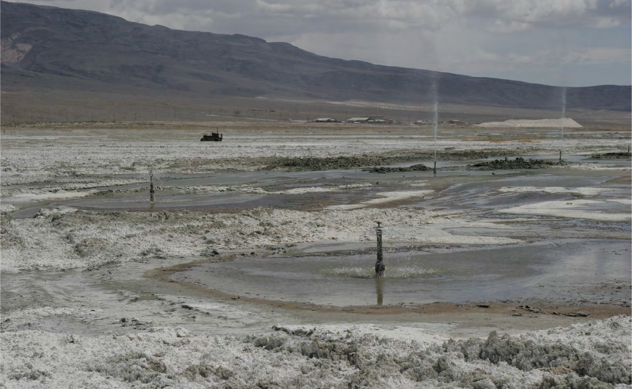
Photographs by Adam Rothstein. Courtesy of the author.
The water is sucked out of the combined delta east of San Francisco Bay and transported by pump and engineered gravity flows in the wrong direction, uphill and over mountains to the largest metropolitan areas of California. Some of the water goes to the Bay Area itself, another aqueduct branch goes over the Coast Range towards San Luis Obispo. The rest of the water is pumped over the Tehachapi Mountains, where half of it flows west into Pyramid Lake, while the other half flows east across the Mojave Desert to San Bernardino. It is quite a thing, in the Wings Over Water video, to see the point at which a river splits into two equal halves—something quite impossible in nature.
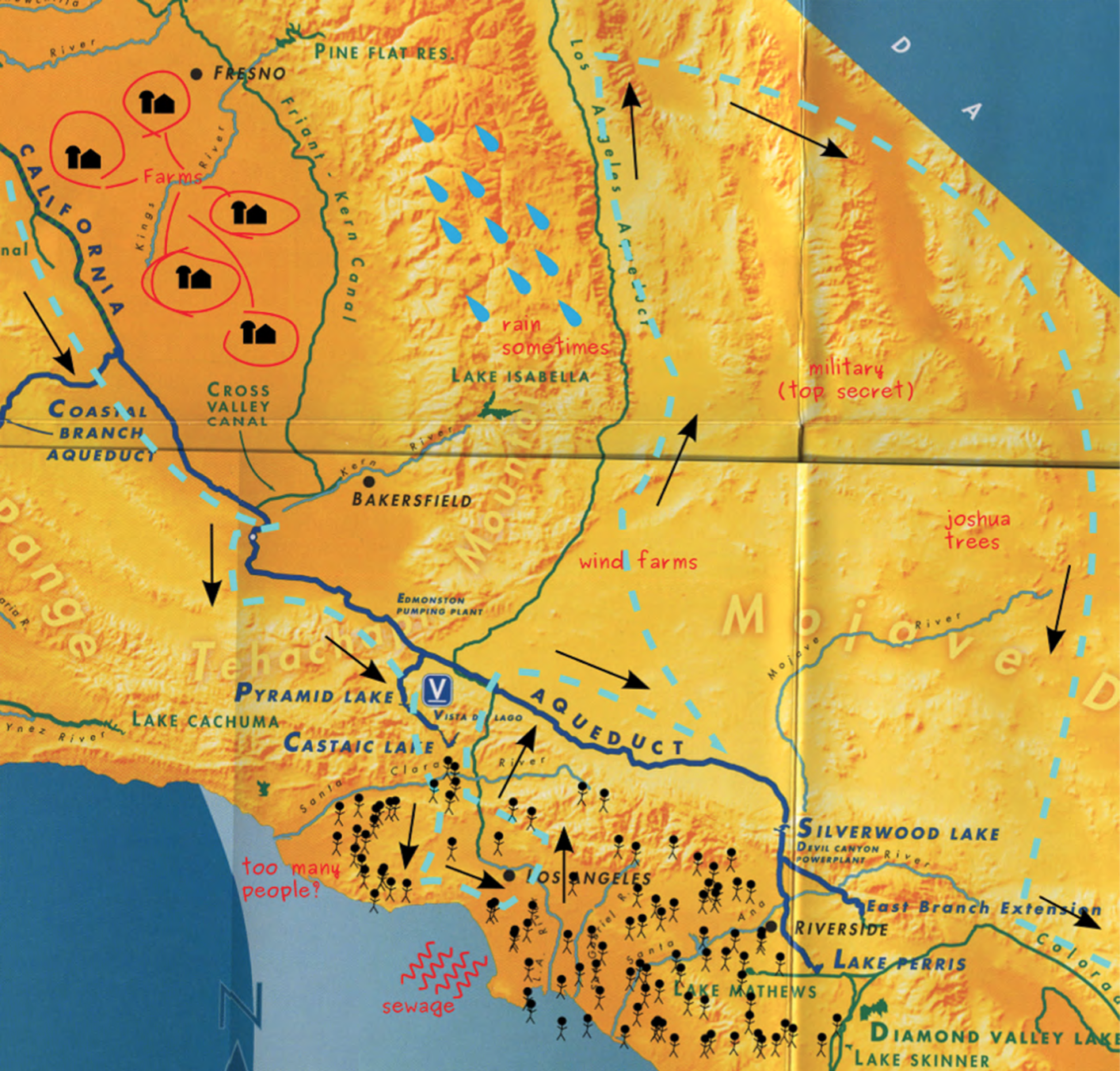
You can also see maps of the California Aqueduct at the visitor center. You can even get one for free from the Department of Water Resources. It is printed on a thick, high-quality paper in shades of yellow and blue. It shows all the waterways of California: including the natural rivers that only flow thick during the wet times of the year; the dams that ensure these flows are saved and metered out on a schedule to make sure the sucking pumps can extract what they need from the rivers even in the driest of summers; the California Aqueduct, the Los Angeles Aqueduct, the Colorado River Aqueduct, and the other smaller concrete-lined canals that Federal and State projects have built across the state to create an intravenous lifeline for the burgeoning population and agriculture that has made the state famous.

A mocked up copy of the DWR map. Courtesy of the author.
But I wanted to learn more, to know the truth about the water. To see the real, hidden secrets not visible at the public shrine. And so I went to wander in the desert, to see the sacred sites of water infrastructure, to try to understand the knowledge there. I drove the entire length of the major aqueducts of California. Down I-5 from Shasta all the way to Los Angeles, then back north up the San Francisquito Canyon along the Los Angeles Aqueduct to Owens Valley, where the city famously muscled out the locals of their water rights some hundred years ago to allow it to become the metropolis that it is today. Then I drove down to the Colorado River, held back by the Hoover Dam—built to provide electricity so that Los Angeles could pump water out of that river, held back by another dam named Parker, further south at Lake Havasu. And I returned to the city along the Colorado River Aqueduct, back through the Inland Empire where the reservoirs are fed from both east and north. I traced the steps taken by California’s infrastructural patriarchs, where water was forced to burst from the rocks, where the promised land was deeded, where the land was conquered so that cities could be built.
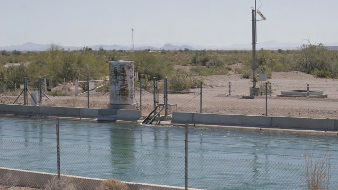
This wet network is laced all across the state, and although one can see it wherever one turns if one knows where to look, there is still something elusive. There is an ingredient of this infrastructural hamburger that refuses to be colored in. At Lake Mathews where the Colorado River Aqueduct terminates in the Inland Empire, the overlook is closed off by chain link and barbed wire, and warnings of imminent prosecution suggest that the Metropolitan Water District of Southern California (who runs this particular artificial river) would rather you took your vistas elsewhere. At the point in the Mojave Desert where the Los Angeles Aqueduct crosses the eastern branch of the California Aqueduct, one can wander the site at will. But I still felt that there was something missing. I took an aerial camera on a tiny quadrotor, my own electronically summoned angel, and sent it skyward into the desert wind for a better view. I caught the streaming rays of sunlight passing through the clouds over the Tehachapis, the California Aqueduct extending horizon-bound in two cardinal directions while the silver-pipe enclosed Los Angeles Aqueduct completes the other points of the compass rose, vaulting over the open California Aqueduct like a massive worm chewing through the landscape. A rural road passes over the California Aqueduct on a bridge, and the open aqueduct siphons down underneath the natural path of a storm water wash to allow runoff to cross it without eroding the smooth concrete banks and stifling its flow with silt. The Pacific Crest Trail also crosses both aqueducts here in the desert, making this a path of many crossings. And my flying digital camera caught it all, suspended on electrically torqued blades in the billowing sky. My own shaky wings over water, with the digital eye suspended between them. But for what? What have I seen? What do I now know about the drought? What knowledge have I gained that will reveal the secrets of anthropocentric water management to me?

Photograph by Adam Rothstein. Courtesy of the author.
Every home has a water meter, the numbers of which spin only upwards by design, like the pages of a calendar as the Earth rotates in the light of the sun. But the units are mere numerology, abstract figures that we are told are either too much or not enough. Our water infrastructure is occult. As a total system providing for the lives of 38.8 million California residents, it is a cosmology not designed to be seen or understood. It has become impossible. There are too many people, too many tunnels, too many acres, too many pounds of beef, too many hamburger buns. Too many wet, fleshy life forms running around aspirating, perspiring, evaporating. And yet, who knows by weight the amount of water they need to survive? How much to drink, and how much to piss away down the drain? These sorts of biological knowledge have been replaced by sheer will, the ability to hold one’s water and resist one’s thirst.
We are shown altars and symbols, given texts and told to study and pray. The designs of the Bureau of Reclamation, the Department of Water Resources, the Metropolitan Water District, the Los Angeles Department of Water and Power, and the pantheon of lesser water districts and bureaus that stretch across the patchworks of farmland and subdivision, are like the eyes of absentee gods. We draw out maps like zodiacs, we inscribe the diagram of the sacred water-measured hamburger on the walls of holy spaces and websites and in the coloring books of our children. But despite all of the attention we pay to the religious practice of attempting to see and understand water, we continue to live and die, our precious resources of freshwater inevitably flowing out into the saline sea.
